

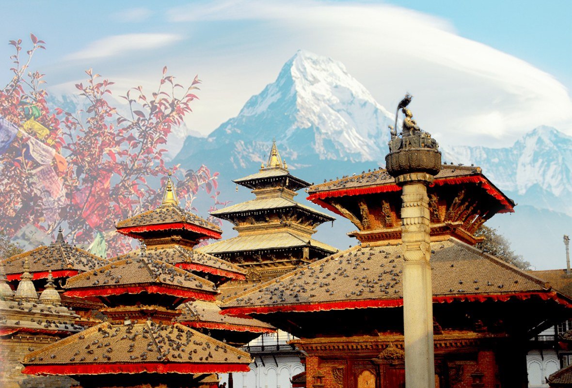
KATHMANDU — Nepal is a landlocked South Asian country distinguished by dramatic geographical variation, a multicultural population and a political history that transformed it from a monarchy into a federal parliamentary republic.
Kathmandu, located in the Kathmandu Valley in central Nepal, is the country’s capital and largest city. It functions as Nepal’s principal governmental, financial, industrial and cultural centre, according to the supplied Wikipedia reference pages.
A country between India and China
Nepal borders India to the south, east and west, and China’s Tibet Autonomous Region to the north. The country covers 147,181 square kilometres and includes parts of the Indo-Gangetic Plain, forested hills and the Himalayas.
Eight of the world’s 10 highest mountains are located in Nepal, including Mount Everest, the highest point above mean sea level. This varied landscape has shaped the country’s settlement patterns, transportation systems, economy and cultural development.
Nepali is the official language, while the country recognizes all mother tongues spoken by its communities as national languages. Nepal is described in the source as a multi-ethnic, multilingual, multireligious and multicultural sovereign state.
The country is divided into seven provinces: Koshi, Madhesh, Bagmati, Gandaki, Lumbini, Karnali and Sudurpashchim. Kathmandu lies within Bagmati Province.
From unification to a federal republic
The Gorkha Kingdom unified Nepal during the 18th century, and the Shah dynasty subsequently established the Kingdom of Nepal. The country was not formally colonized and historically occupied a strategic position between British India and Imperial China.
Parliamentary democracy was introduced in 1951 but was suspended by Nepalese monarchs in 1960 and again in 2005.
Following years of civil conflict and political change, Nepal became a secular republic on May 28, 2008, bringing the monarchy to an end. The current Constitution of Nepal was adopted on September 20, 2015, establishing the country as a federal parliamentary republic with seven provinces.
Kathmandu at the centre of national life
Kathmandu stands within the northwestern part of the Kathmandu Valley. The city is situated north of the Bagmati River and is administratively divided into 32 wards.
According to the Kathmandu reference page, the 2021 census recorded 845,767 residents living in 105,649 households in the city, while the surrounding metropolitan area had an estimated population of approximately four million.
The city lies at an elevation of about 1,400 metres. Its lower areas generally have a humid subtropical climate, while higher sections have a subtropical highland climate. Summers are warmer and wetter, with much of the rain arriving during the monsoon, while winters are cooler and generally drier.
Kathmandu’s location helped it develop into Nepal’s main centre for administration, commerce and culture. Major government institutions, financial organizations, businesses and international bodies operate from the capital.
The headquarters of the South Asian Association for Regional Cooperation has been based in Kathmandu since 1985.
An ancient centre of settlement and trade
Archaeological discoveries point to ancient settlement in Kathmandu. A statue found in Maligaon was dated to AD 185, while a brick bearing a Brahmi-script inscription discovered at Dhando Chaitya is believed by archaeologists to be about 2,000 years old.
Kathmandu was historically known as Kantipur and Kasthamandap. Its present name is associated with Kasthamandap, a traditional wooden pavilion. The Sanskrit components of that name refer to wood and a covered pavilion.
The valley was historically known as Nepal Mandala and became a political and cultural centre of the Newar people. Its position on trade routes connecting India and Tibet supported commercial activity and cultural exchange across the Himalayan region.
Newar merchants and artists played a prominent role in those networks. Artistic and religious traditions originating in the Kathmandu Valley travelled into Tibet, China and other parts of Asia.
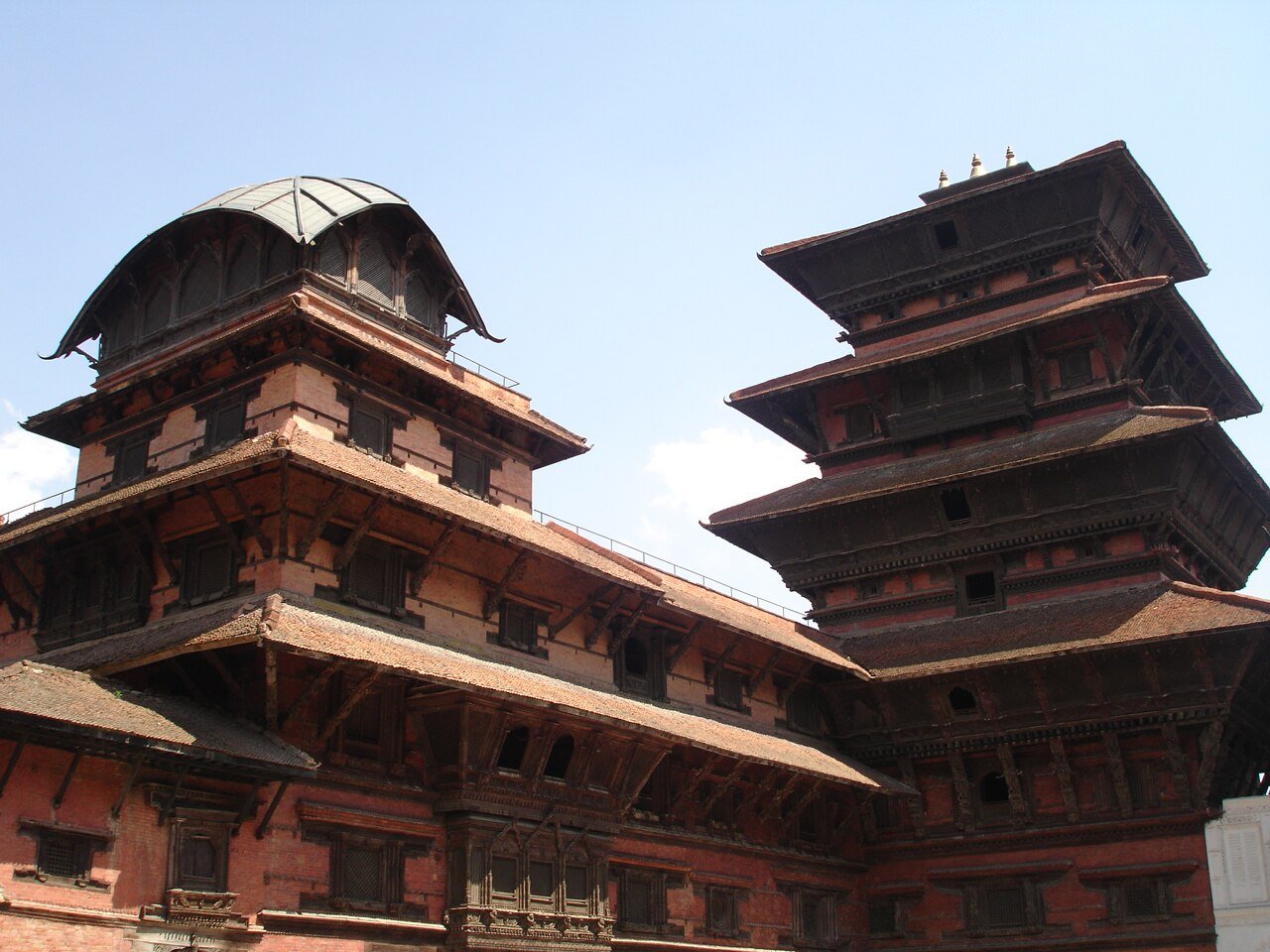
During the Malla era, the valley included the fortified cities of Kantipur, Lalitpur, Bhaktapur and Kirtipur. Competition among their rulers encouraged the construction of temples, palaces, public squares, waterspouts and other civic structures.
The Gorkha Kingdom ended the Malla confederation following the Battle of Kathmandu in 1768. Kathmandu was subsequently adopted as the capital of the expanding Gorkha state, which became known as Nepal.
Heritage and religious importance
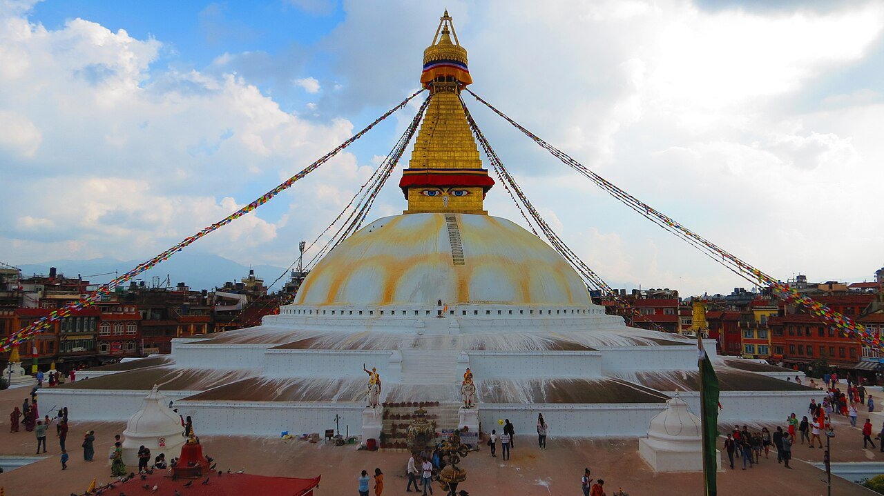
Kathmandu and its surrounding valley contain numerous palaces, temples, monasteries, stupas and historic public spaces associated with Hindu and Buddhist traditions.
Prominent heritage locations listed in the source include Kathmandu Durbar Square, Swayambhu Mahachaitya, Boudhanath and Pashupatinath. These places remain important to worshippers, residents and visitors.
Religious and cultural festivals form an important part of daily life in the capital. Kathmandu has a multi-ethnic population, with Hinduism and Vajrayana Buddhism holding particularly visible places in the city’s cultural landscape.
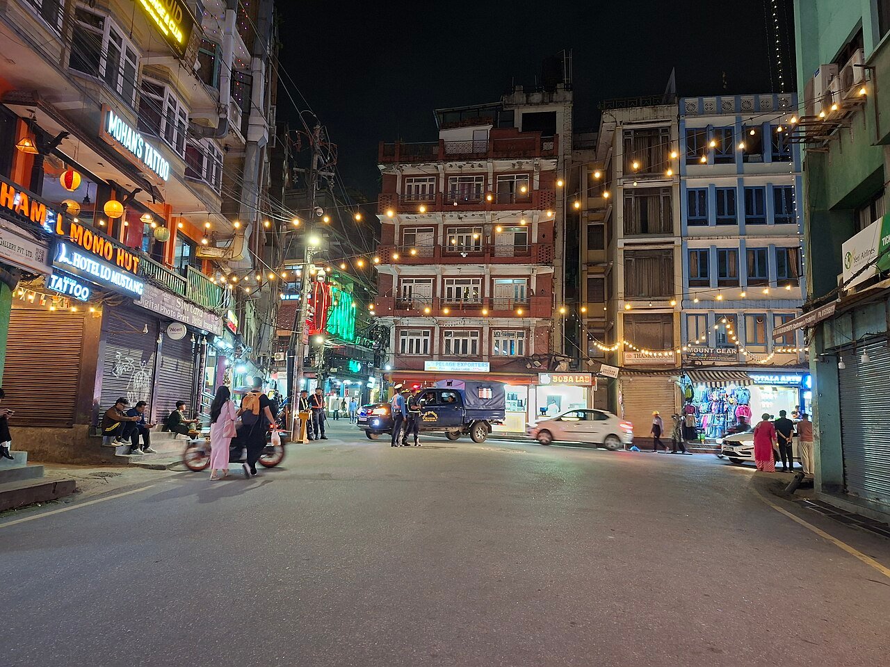
Tourism is also an important part of Kathmandu’s economy. The city functions as a gateway for travellers visiting the Himalayas and Nepal’s religious and cultural sites. Thamel is one of its best-known visitor districts, offering accommodation, restaurants, shops and travel services.
A capital shaped by rapid urban growth
The Kathmandu Valley has experienced extensive urban expansion. The metropolitan area now stretches beyond Kathmandu’s municipal boundaries toward Lalitpur, Kirtipur, Bhaktapur and several surrounding municipalities.
Kathmandu remains the administrative and economic heart of Nepal while retaining historic neighbourhoods, sacred sites and architectural traditions developed over centuries.
Its role in the country extends beyond that of a political capital. The city brings together Nepal’s ancient trading history, Newar heritage, religious diversity, modern institutions and position as an international gateway to the Himalayas.

Join the conversation
Comments are reviewed before publication. Your email stays private.