

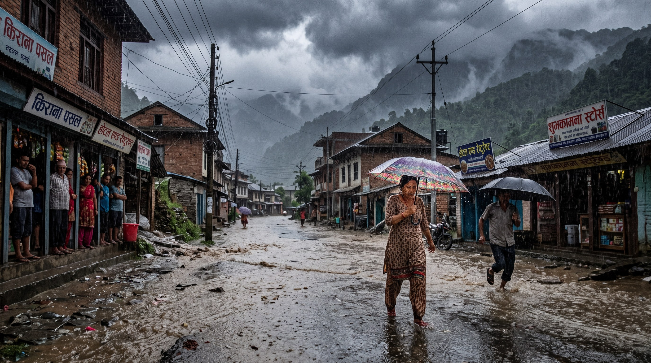
Weather activity is expected to intensify across Nepal between Ashoj 8 and 12, corresponding to September 24–28, raising concerns about heavy rainfall, flooding, inundation and landslides in vulnerable areas.
The changing conditions are linked to an active weather system over the Bay of Bengal together with monsoon and westerly influences. The Nepal Department of Hydrology and Meteorology currently reports that the country remains under the influence of monsoon winds along with a partial influence of westerly winds. A deep depression over the west-central and adjoining northwestern Bay of Bengal is also influencing regional weather conditions.
The Department’s special weather outlook, as reported by Radio Nepal through RSS, indicates that rainfall activity is expected to remain significant during the coming days. Heavy to very heavy rainfall has been forecast in parts of the country, although the location and intensity of the heaviest precipitation may change as the weather system develops.
The official bulletin places particular emphasis on the period from Friday through Monday, when heavy to very heavy rainfall accompanied by thunderstorms, lightning and gusty winds is possible in some areas of Gandaki and Lumbini provinces. Similar heavy to very heavy rainfall is possible at some locations in Madhesh, Koshi, Bagmati and Sudurpashchim provinces, while parts of Karnali could receive heavy rainfall.
On September 24, the Meteorological Forecasting Division also forecast heavy rainfall at several locations in Koshi, Bagmati and Gandaki provinces and at isolated locations in Madhesh and Lumbini. Very heavy rainfall was considered possible at one or two locations in the hilly areas of Koshi and Bagmati.
Risk of floods and landslides
Prolonged or intense rainfall can raise water levels in rivers, streams and smaller waterways, increasing the possibility of flooding and inundation in low-lying areas.
In hill regions, saturated soil and heavy rainfall can increase the danger of landslides and disrupt road transportation. People planning journeys through landslide-prone areas are therefore being urged to monitor official forecasts and road conditions and avoid unnecessary travel when conditions become hazardous.
Residents living close to rivers and streams are also advised to remain alert to changing water levels and official flood warnings.
The Department has warned that the expected weather could affect transportation and everyday activities and has urged people to exercise appropriate caution.
Farmers urged to protect crops
The rainfall period is also important for farmers whose crops are already mature or are being harvested.
Farmers are advised to secure crops that have already been harvested and take appropriate measures to protect crops that are ready for harvesting from prolonged exposure to rain.
The Department’s weather advisory has identified agriculture among the sectors that could be affected by the expected rainfall.
Follow official weather information
Because weather systems can change in strength, direction and timing, rainfall amounts and the locations facing the greatest risk may also shift.
People are therefore advised not to rely on unverified forecasts or weather-related claims circulating on social media. Updated information from the Department of Hydrology and Meteorology and notices issued by relevant authorities should be followed when making travel, farming or safety decisions.
For extreme weather and flood information, the Department provides the toll-free number 1155. According to the Department, callers can press 1 for weather forecasting information and 2 for flood early warning information.
Authorities and residents in areas vulnerable to flooding, inundation and landslides are being urged to maintain preparedness while the weather system continues to develop.





Join the conversation
Comments are reviewed before publication. Your email stays private.